The following
1966-68 pictures and mementos were provided by Ken Craddock
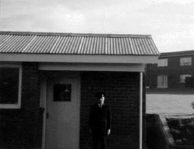
Main Gate Entrance with Local Security Guard
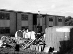
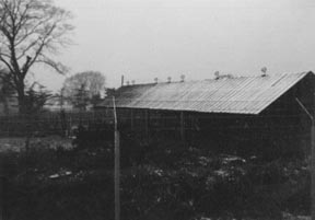
Construction of the New Wing of the Enlisted Barracks
Rear of Mess Hall, with new Communications Building in background
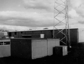
New Communications Building with Antenna field in background
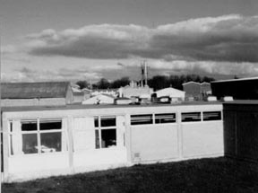
Rear view of Mess Hall, with other buildings in background
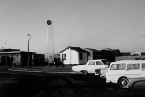
Entrance through old main gate and security post
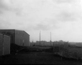
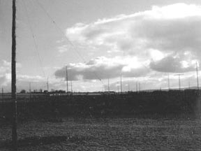
Antenna Field behind new Main Communications Building
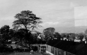
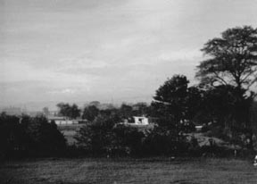
Local farm behind Barracks (view from Starboard Side of Barracks)
Another view of the same farm
Was this the Soccer Field behind the Barracks?
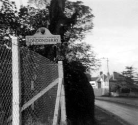
Derry Sign, Clooney Road. You passed this sign while walking down to catch the
bus into town.
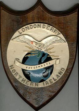
NCS Plaque, given to departing base personnel, Circa: 1968
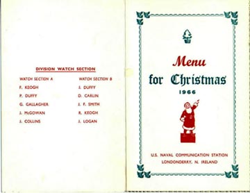
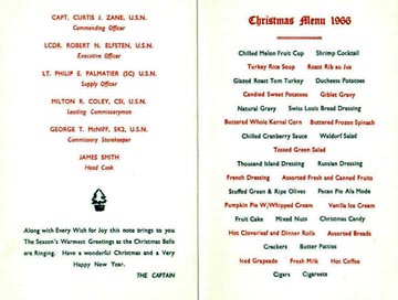
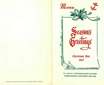
Christmas Dinner Menu, 1966
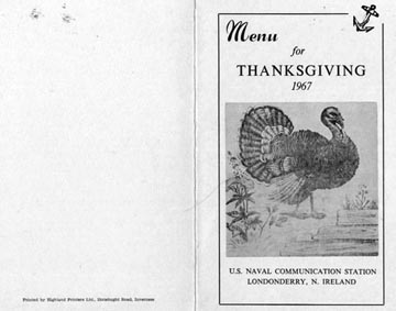
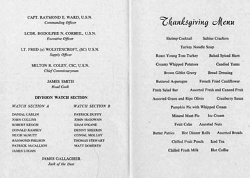
Thanksgiving Dinner Menu, 1967
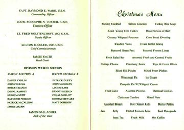
Christmas Dinner Menu, 1967
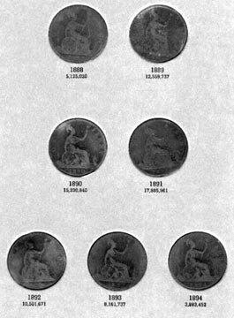
Northern Ireland Pennies (Did you save any?)
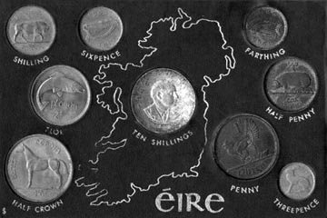
Erie Coins
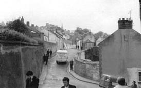
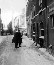
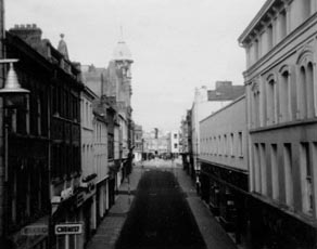
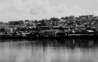
Derry Street Scene
We have two identifications for this Street: Hoggs Folly, and Hollywell St.
Which is correct?
An answer to the above question - received from website visitor Mr. Patrick McHugh
on 3 Oct 2013:
I can partly answer a question you pose on Ken Craddock's photos on your 'Old
Photos' section:- "We have two identifications for this Street: Hoggs Folly
and Hollywell St. Which is correct? " The picture is certainly not Hoggs Folly.
It is looking up towards Hoggs Folly and you can just see a glimpse of Hoggs
Folly itself at the top. The wall in the left of your picture was a boundary
to the Long Tower RC church's small graveyard. The gable end to the right sat
on a very steep dip down to the Lecky Road where it formed a cross-road with
Stanley's Walk at the corner of the old gasyard.
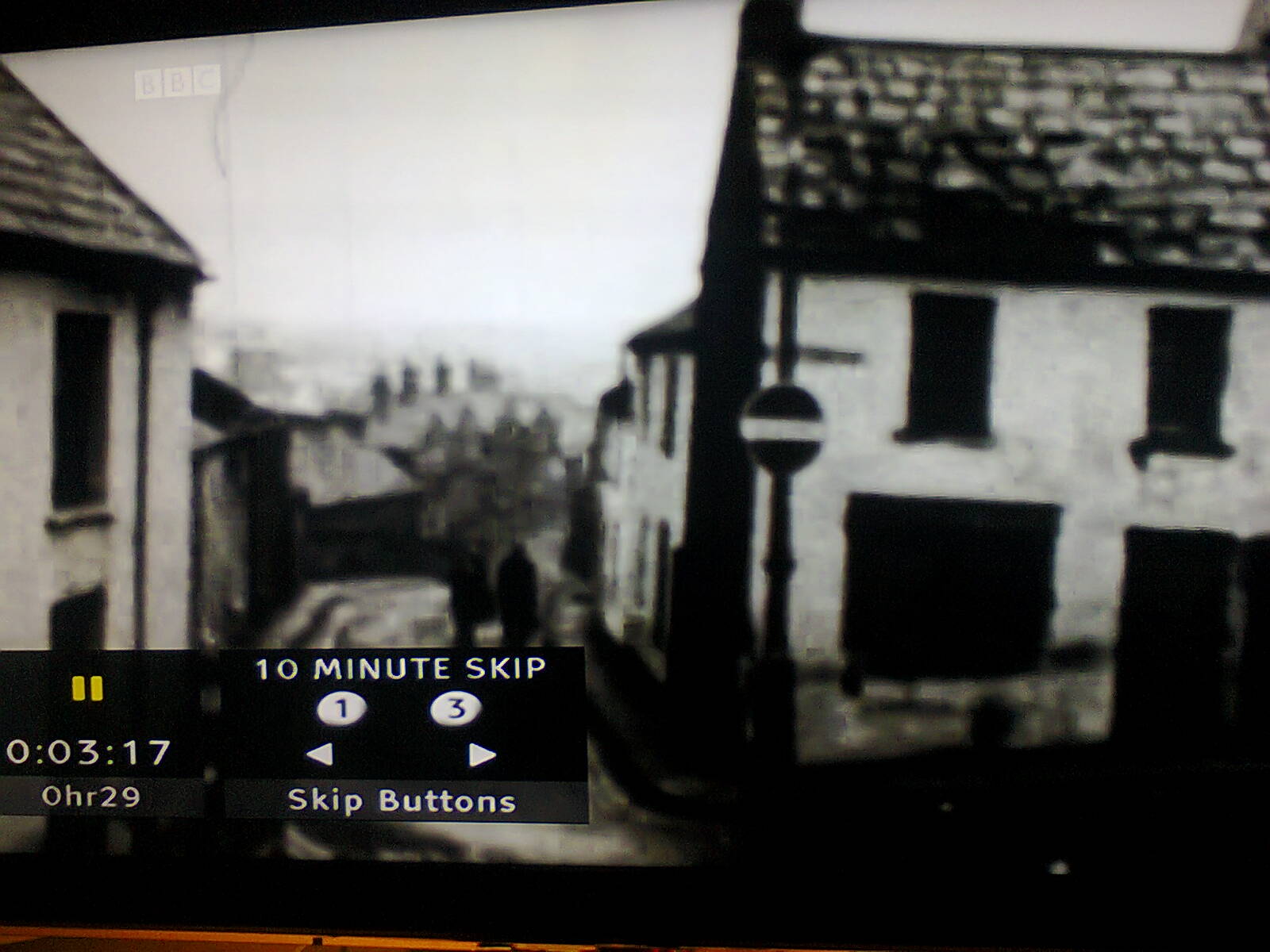
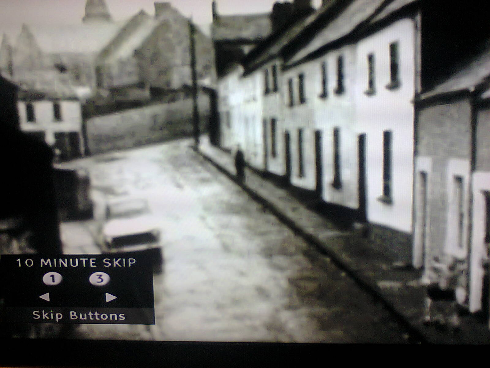
I'm attaching my 'evidence': (A and B) Two images of the top of old Hoggs Folly
(long gone now): one is looking down the same street as on your site, but from
the top end; and the second shows the Long Tower church from Hoggs Folly. (C)
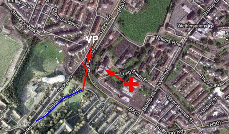
on a modern google map I've superimposed where Hoggs Folly once stood in blue,
and the street in your picture in red. It may well have been Hollywell Street,
but more than forty years have blurred the memory! Behind the camera viewpoint
in your picture was St Columb's Wells, overlooked by the old city walls. I just
thought I'd answer what I could.
Kind regards,
Patrick McHugh
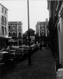
(A)
Looking down the same street as on your site, but from the top end -
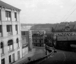
(B)
Long Tower Church from Hoggs Folly -
(C)
On a modern Google map I've superimposed where Hoggs Folly once stood in blue,
and the street in your picture in red. It may well have been Hollywell Street,
but more than forty years have blurred the memory! Behind the camera viewpoint
in your picture was St Columb's Wells, overlooked by the old city walls.
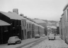
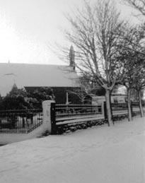
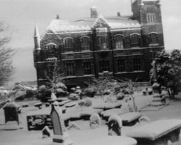
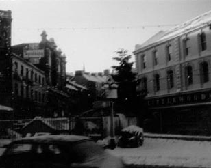
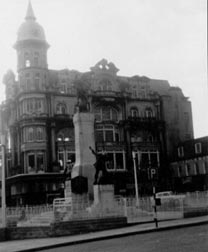
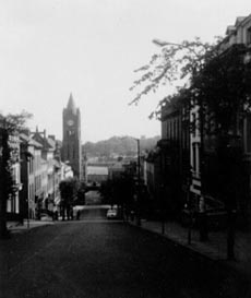
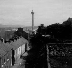
The following six pictures were taken by Ken following a snow storm in Derry.
Thanks for braving the elements, Ken!
Waterloo Place, Derry, in Snowstorm, 1967
Austin's Department Store (Ireland's oldest: 1906), on The Diamond, 1967
Shipquay St., looking from The Diamond to the Guildhall, 1967
The Wall, 1967
Ferryquay Street, looking towards The Diamond, 1967